

Scientific context
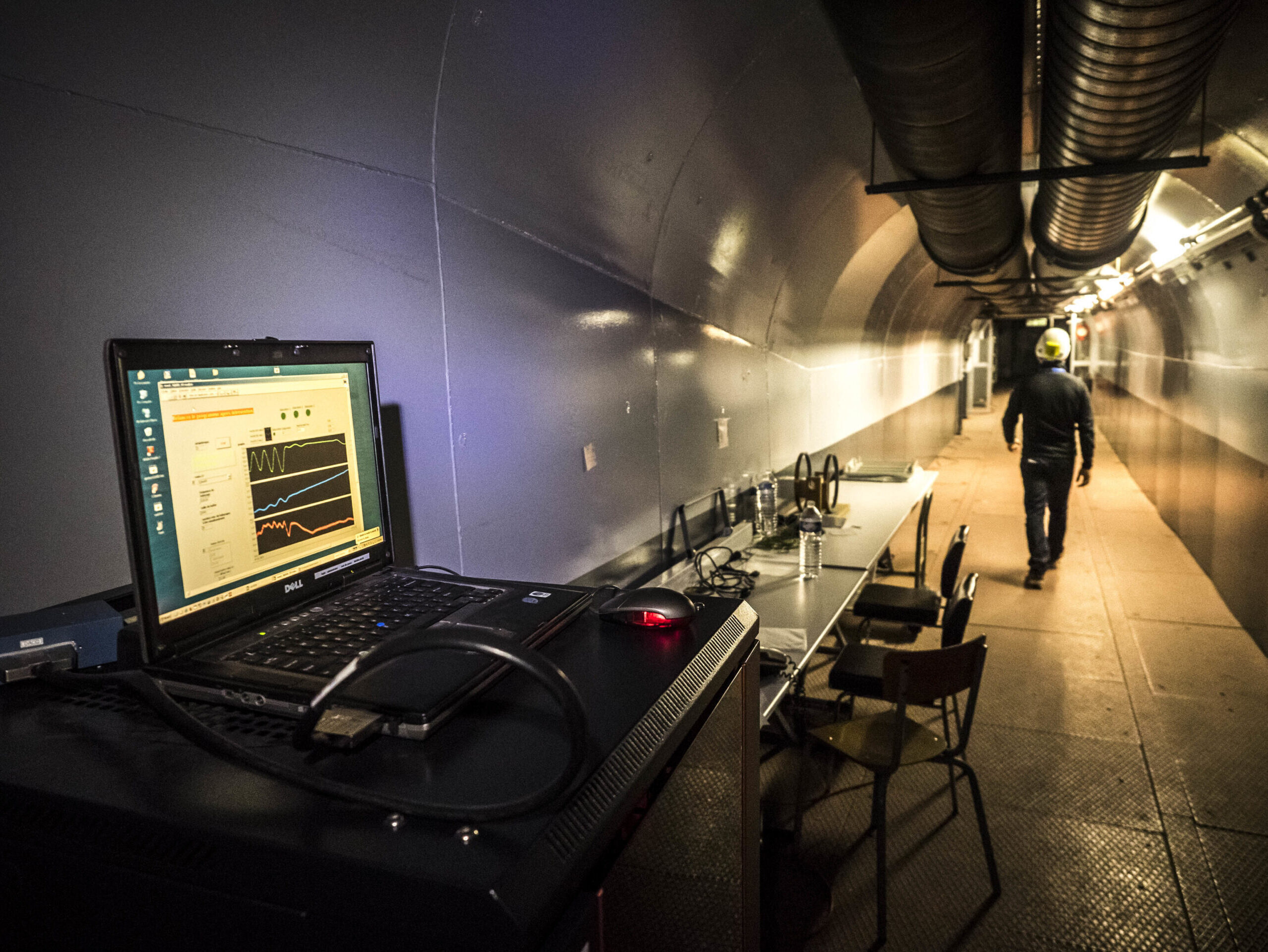
The LSBB (Laboratoire Souterrain à Bas Bruit) is located in the Fontaine de Vaucluse karst massif, one of the largest in Europe, within a 20th-century military underground facility classified as architectural heritage. It features over 4 km of underground galleries, situated 30 to 520 meters below the rock surface, providing a unique environment for studying phenomena across multiple scales, from local fractures to the 14,000 km² watershed. Its electromagnetic and seismic isolation, along with a low-anthropogenic-noise environment, make it an ideal site for gravimetry, seismology, and the development of ultra-sensitive scientific instruments.
The LSBB also enables in situ studies of global change impacts on groundwater resources, with a particular focus on scale-related challenges and model validation. Equipped with modern facilities, it hosts large-scale scientific projects and aims to numerically model its complex structure and associated water flows. The laboratory is managed by the UMR EMMAH (Mediterranean Environment and Agro-Hydrosystem Modeling Unit).
Localization: 43°93′ N; 5°46′ E, Vaucluse, France
Start: 1997
Website: https://www.lsbb.eu/
Database: https://hplus.ore.fr/acces-donnees/
Supervisor: Naomi Mazzilli
Keywords: karstic aquifer, carbonate reservoir, modelling, instrumental development
Scientific goals
The principal scientific objectives of current experiments and monitoring studies are the following:
- To develop a multi-method, multi-scale approach to characterizing the environment (on surface, in boreholes, and underground by direct measurements in tunnels) that is suitable for imaging highly heterogeneous bedrock media.
- To acquire the data needed to characterize the portions of the system available for storage and any variations in the quantity of water stored.
- To acquire the data necessary for a structural characterization of the system, aimed at the creation of a 4-D geomodel for spatializing its geophysical and hydrogeological parameters.
- To study the hydrodynamic operation (both for transmission and storage) of the unsaturated zones of karstic systems.
- To study the geo-, hydro-, physico- (and even bio-) chemical exchanges induced by the hydrodynamic processes.
- To acquire the data required for testing and validating hydrogeologic modeling methods designed for fractured environments.
Instrumentation and measurements
In this regard a number of monitoring and experimental programs are being carried out at LSBB in order to provide the relevant parameters, including time series and long-term experiments for the characterization and modeling of the transport of water and chemical elements in this complex, heterogeneous aquifer. The main monitoring campaigns involve:
- Onsite climatic monitoring: 2 Campbell meteorological stations were installed in 2008, at the top and bottom of the observatory (measurements of rainfall, solar radiation, wind strength and direction, atmospheric pressure, and temperature, at 15-minute intervals).
- Hydrogeophysical and hydrogeodesic characterization of the site: the scientific approach adopted consists of combining a wide range of geophysical methods (electrical, electromagnetic, gravimetric, RMP, and seismic) to determine geophysical properties in and especially above the LSBB tunnel. Repeated measurements over time (monitoring) and space (on surface, in the tunnels, and in the boreholes) should lead to a detailed characterization of the environment (common parameterization of an integrative 4-D model), and to define the limits of resolution, of sensitivity, and of complementarity of the geophysical measurement techniques with regard to hydrogeological measurements for characterizing 4-D hydrodynamic parameters in a complex environment.
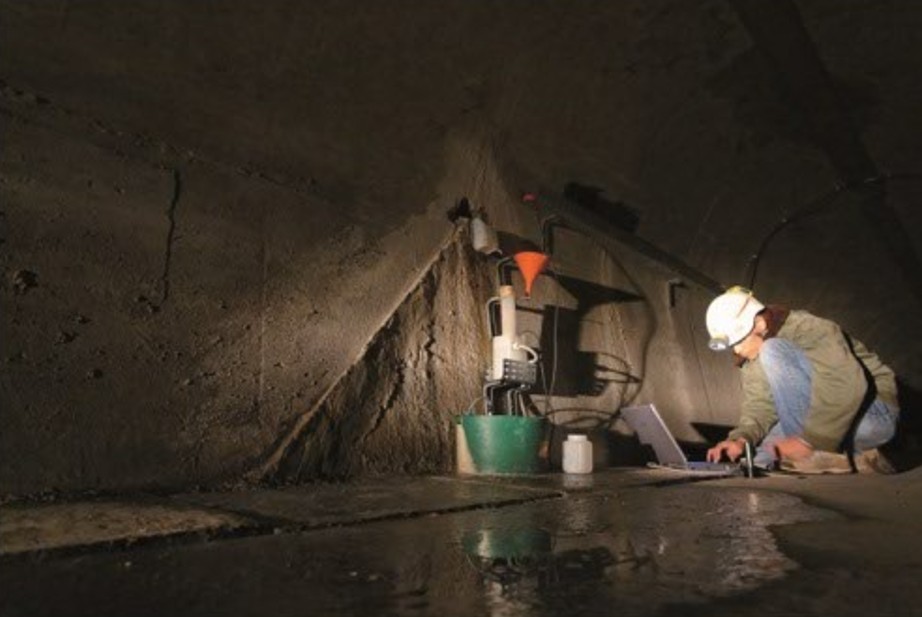
- Hydrodynamic and hydrochemical monitoring of flows on the site: in contrast to the speleological approach, the LSBB tunnels explore the carbonate matrix in an arbitrary fashion; they therefore intersect an assemblage of cracks and fractures through which rainfall water flows naturally to reach the saturated zone. Sixty-one flow points have been identified, georeferenced, and bored into the rock. Five points, four of which flow perennially, have been monitored since 2003. The others have been identified more recently, after a change in the local rainfall pattern during the winter of 2008. The flows are the subject of semimonthly measurements, sampling, and analyses (measurements of discharge, pH, and electrical conductivity, and laboratory chemical analyses of major ions, total organic carbon, and certain isotopes: 13C and 180); the number of flows varies, depending on the hydrogeologic conditions.
Partners
The LSBB is a collaborative platform which allows researchers and disciplines that normally have few occasions to interact – because each field is so extensive in itself – to develop research programs for investigating the dynamics of complex systems. These systems demand a knowledge of the environment and its physical phenomena and parameters, and bring together a number of research themes which define an interdisciplinary space for the development of LSBB’s research and R&D programs. Thus in addition to the SNO H+, a number of laboratories of the universities of Avignon, Nice, and Marseilles as well as INSU are directly associated with LSBB, which also has strong ties with, for example, the universities of Savoie, Pau, and Vancouver, CEA-DASE, IRSN, and ANDRA. LSBB distributes its data over the ORFEUS and IRIS networks.
Projects and publications
Projects are available here, and publications here.
Data access
KMZ viewer
The viewer below offers a comprehensive site visualization and information on available public data such as types, numbers and dates of measurements, locations of sites, wells and stations, as well as data providers information. This interface also provides an overview of available geophysical maps and cross-sections.
To visualize all data in the Google Earth software, you can download the following KMZ file: LSBB.kmz
OSURIS catalogs
In this OSURIS catalog you can find links to key datasets of the site together with metadata:
Predefined requests
To help finding general datasets, predefined database requests have been created and are regularly executed. Results of the requests can be downloaded from the links available below.