
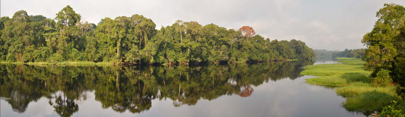
Nsimi catchment
Tropical ecosystems are impacted by the increase in human population and are associated with rapid changes in climate and land use, leading to the degradation of water and soil resources in these regions. Multiscale TROPIcal CatchmentS (M-TROPICS) observatory aims to quantify the matter balance of a range of river basins of contrasting and complementary vegetation cover and land use in Cameroon, India and Southeast Asia.
In Cameroon, the conversion of rainforest ecosystems to slash-and-burn agriculture is studied thanks to 5 nested watersheds, from the experimental Mengong basin (Nsimi, 0.6 km²) to Nyong River basin (Olama, 18,500 km²). This page is dedicated to the Nsimi catchment.
More information can be found on the M-TROPICS observatory website. Additional hydrogeophysical data are available for sites in India (Berambadi and Mule Hole) and Laos (Houay Pano).
Data access
KMZ viewer
The viewer below offers a comprehensive site visualization and information on available hydrogeophysical data, including geophysical maps and cross-sections. This interface also provides details on the types, numbers, and dates of measurements, as well as precise site locations and data providers information.
To visualize the data in the Google Earth software, you can download the following KMZ file: Nsimi.kmz
Predefined requests
You can access the data categorized by different types of measurements from the provided links below: