

Scientific context
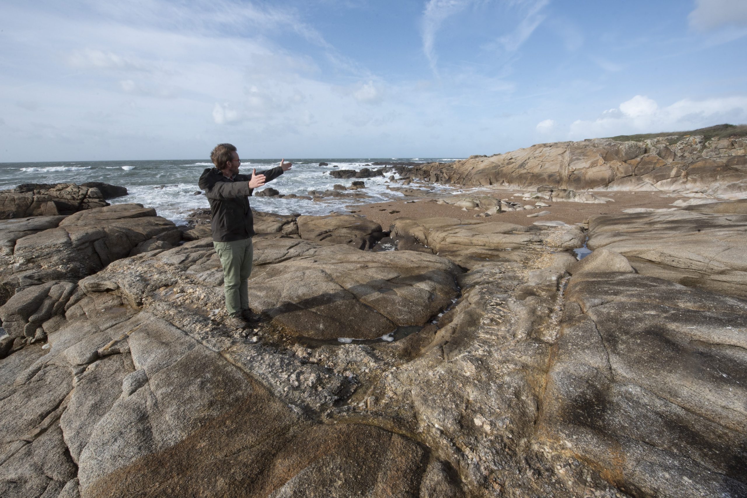
The Ploemeur-Guidel observatory is located in a littoral area near Lorient dominated by agricultural, military, and urban activities. The observatory builds up two instrumentalized sites in highly heterogeneous crystalline context. The Ploemeur site is an high-yielding anthropized hydrosystem pumped since 1991 that supplies drinking water to a town of 20,000 inhabitants. Although the local rocks consist of granites and mica schists, rocks traditionally considered to be impermeable, rapid flows of water of good chemical quality are observed in a small number of fracture zones . The Guidel site is characterized by deep groundwater naturally upflowing, feeding a groundwater-dependent ecosystem with large amounts of warm and iron-rich water. The main problems concern the aquifer’s vulnerability to transfers of anthropogenic pollutants; the potential risk of salinization in this coastal aquifer; and the identification of recharge areas, together with the establishment of a zone of protection.
Both sites have a very dense piezometric coverage, with some fifty boreholes from 30 to 150 m deep. This network allows for long-term monitoring – hydrological, hydrochemical, and geophysical – and the possibility of innovative experiments on the hydrologic parameters of heterogeneous environments. In collaboration with the municipal “Water and Sewage” utility for the Town of Ploemeur, all sites are monitored by teams from OSERen, and more specifically from Géosciences Rennes and Ecobio.
Localization: 47°44′ N; 3°27′ E, Morbihan, Bretagne, France
Start: 1991 (Ploemeur), 2002 (Guidel)
Website: https://hplus.ore.fr
Database: https://hplus.ore.fr/acces-donnees/
Supervisors: Eliot Chatton (scientific supervisor) et Nicolas Lavenant (technical supervisor)
Keywords: fractured crystalline bedrock, highly heterogeneous context, littoral area, oceanic climate.
Scientific goals
The main scientific goals of continuous studies and experiments are:
- Future of water ressource
To study the environment’s chemical reactivity and especially changes in the chemical quality of the waters as extraction proceeds, to investigate the vulnerability of the aquifer to climatic variations and changes in land use. - Methological innovation
To develop and test methods for imaging underground flowsand measuring flow velocities in highly heterogeneous environments and techniques for monitoring the ground deformations related to variations in water-table levels. - Hydrogeologic modeling
To acquire the data required for testing and validating hydrogeologic modeling methods designed for fractured environments and to measure the distribution of residence timesand estimate the distribution of travel times.
Instrumentation and measurements
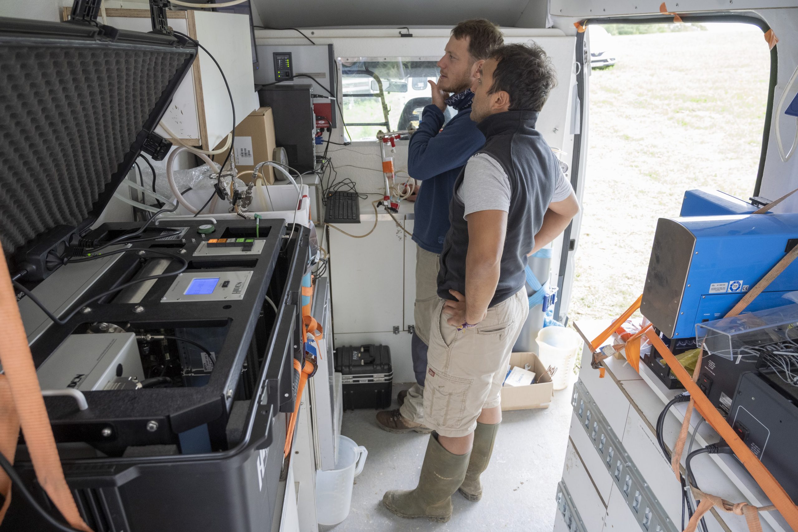
Numerous monitoring and experimental programs – including long-term time series and experiments – are conducted on the Ploemeur-Guidel observatiry to provide relevant data designed to characterize, quantify, and model the transfers of water and chemical elements within this complex, heterogeneous aquifer. The main monitoring campaigns involve:
- Hydrologic and climatic monitoring of the site: the level of the water tables has been monitored since 2003 on more than thirty piezometers, at a frequency of 10 minutes for distant stations and 30 minutes for the nearest ones. This network is supplemented by a meteorological station and by measurements of the hourly flows in small streams that cross the pumping site.
- Hydrochemical monitoring of the site: all the piezometers are sampled twice a year, at low water and after recharge. All major elements are analyzed, as well as certain trace elements and rare earths. Isotopic analyses are also available for nitrogen, sulfur, strontium, and radon. Residence times in the aquifer are also monitored by measuring CFCs and SF6s.
- Monitoring of ground deformation: this monitoring has been provided since 2003 by two single-frequency GPS units. The system was upgraded in 2006, when two long-base tiltmeters (respectively 34 meters and 9 meters long) were installed in an old underground tunnel (ANR Hydro-Géodésie). Since that date a dual-frequency GPS has also been installed (ORE RENAG), as well as a seismometer (RESONMANS Project).
- Monitoring connected to exploitation: since 1991 the water and sewage utility has provided almost daily monitoring of certain piezometers, as well as monitoring of pump discharges. Water-quality monitoring (certain major elements, bacteriology, insecticides, etc.) is also regularly carried out.
Partners
The Ploemeur site offers an infrastructure capable of accommodating a number of national and international projects on a wide variety of themes. A total of more than fifty researchers, engineers, and technicians have worked on the site in recent years, or on data from the site. To these must be added a score of masters or doctorate-level students. Outside of H+ ORE, the Ploemeur site has been involved in several European projects (SALTRANS, ALIANCE), national projects (ANR Hydrogéodésie, ANR Mohini), research groups, and regional PRIR DATEAU projects. The principal joint programs involved the Universities of Montpellier 2, Maine (USA). Birmingham (UK), Nantes, and Paris VI, and the technical divisions of INSU (Brest), IUEM, UBO, IPG Paris, lPG Strasbourg, IRSN, USGS (USA), SHOM, and BRGM.
Projects and publications
Projects are available here, and publications here.
Data access
KMZ viewer
The viewer below offers a comprehensive site visualization and information on available public data such as types, numbers and dates of measurements, locations of sites, wells and stations, as well as data providers information. This interface also provides an overview of available geophysical maps and cross-sections.
To visualize all data in the Google Earth software, you can download the following KMZ files: Ploemeur.kmz & Guidel.kmz
Ploemeur site
Guidel site
OSURIS catalogs
Ploemeur site
Predefined requests
To help finding general datasets, predefined database requests have been created and are regularly executed. Results of the requests can be downloaded from the links available below.
Ploemeur site
Water cycle
Geochemical cycle
Borehole hydrogeophysics
Spatialized hydrogeophysics
Geodesy
Experiments
- Tracer tests: Uranine, Amino G Acid, Pumping rates
- Infiltration test: Seismic and ERT cross sections, Water content
- FO-DTS during pumping test at Stang er Brun – 20/09/2016
- All experiments
Soil atmosphere exchange
- Vadose zone: soil temperature, suction, water content