
Scientific Context
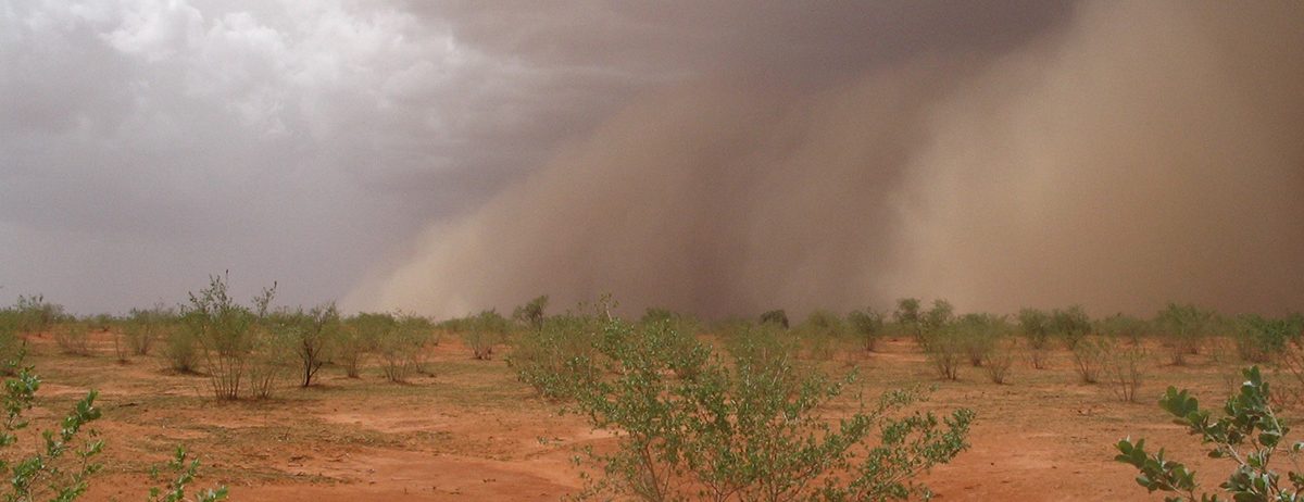
Nalohou is a small catchment in Benin (west Africa) that belongs to the AMMA-CATCH network. The long-term regional observatory AMMA-CATCH (Multidisciplinary Analysis of the African Monsoon – Coupling of the Tropical Atmosphere and the Hydrological Cycle) aims to monitor the impacts of global changes on the continental water cycle and the functioning of the critical zone in West Africa, a region undergoing rapid transitions in terms of climate, demographics, and land use. AMMA-CATCH consists of numerous sites ranging from a few km² to over 10,000 km², distributed across Benin, Mali, Niger, and Senegal. The mesoscale sites focus on studying the coupling between vegetation dynamics and the water cycle, continent-atmosphere feedbacks, and water balance estimates. Smaller but intensively instrumented sites include a common minimum set of measurements to study regional variability (rainfall, radiative balance, water table depth).
Localization: Africa.
Start: 1990 (Niger), 1996 (Bénin), 2005 (Mali), 2013 (Sénégal).
Web site: https://www.amma-catch.org/
Data base: http://bd.amma-catch.org/main.jsf
Supervisor: Jean-Martial Cohard
Keywords: monsoon, tropical climate, nested sites, hydrology, evapotranspiration, water ressources
Scientific objectives
The long-term observations of the AMMA-CATCH Observatory aim to investigate the impacts of climate change and land-use changes on water and vegetation cycles in West Africa by addressing the following objectives:
- Understanding the key processes governing the water cycle and vegetation growth,
- Providing a regional perspective on the evolution of environmental systems,
- Improving the modeling of continental surfaces in West Africa,
- Offering tools to policymakers and public stakeholders for decision-making support.
Instrumentation and measurements
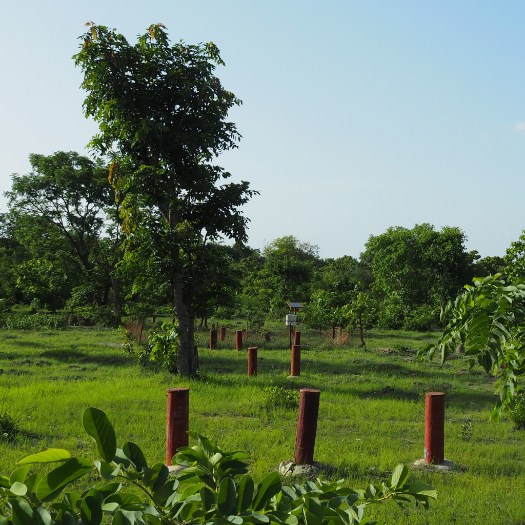
The observation strategy is based on a nested scale approach. Hydrological processes are closely monitored at “super-sites” (~100 km²), while vegetation dynamics and associated water fluxes are tracked at “local intensive sites” (~1 ha²), representing the main vegetation covers of the considered area. AMMA-CATCH sites are equipped to provide homogeneous data (using the same instruments and protocols for data processing) on key variables: meteorology (rainfall, wind, pressure, temperature, and radiation), surface water (rivers in humid climates or ponds in arid climates), water table depth, and water quality. At local intensive sites, additional measurements include soil water infiltration (soil moisture up to 2 meters deep), evapotranspiration (from trees, crops, or bare soil) using flux towers, and vegetation development (biomass, height, sap flow). In total, the network comprises nearly 280 measurement sites (850 sensors) recording over 2,500 hourly measurements across four countries.
Partners
AMMA-CATCH is led by the Institute of Environmental Geosciences (IGE), Grenoble, in collaboration with Géosciences Environnement Toulouse (GET) and HydroSciences Montpellier (HSM). The observatory has African partners in Benin (Abomey Calavi University and Parakou University, Direction générale de l’Eau), Niger (Abdou Moumouni University, Maradi University and Zinder University), Mali (University of Science, Technique and Technologies – U.S.T.T.B, Bamako) and Senegal (Cheikh Anta Diop University, Dakar and the Senegalese Institute for Agricultural Research – ISRA/CRZ).
The observatory was labelled “Observatoire de Recherche en Environnement” in 2002, Service national d’observation (SNO) in 2005 and obtained the “IRD South label” in 2015. AMMA-CATCH is part of OZCAR-RI since its creation in 2017 and receives recurrent financial supports from IRD, CNRS-INSU, as well as Observatories in Universal Science – OSU (OSUG, OREME, OMP).
Data availability
KMZ Viewer
The viewer below offers a comprehensive site visualization and information on available hydrogeophysical data, including geophysical maps and cross-sections. This interface also provides details on the types, numbers, and dates of measurements, as well as precise site locations and data providers information.
To visualize the data in the Google Earth software, you can download the following KMZ file: Nalohou.kmz