Description
Scientific manager of the Ploemeur-Guidel site: Eliot Chatton
Technical manager of the Ploemeur-Guidel site: Nicolas Lavenant
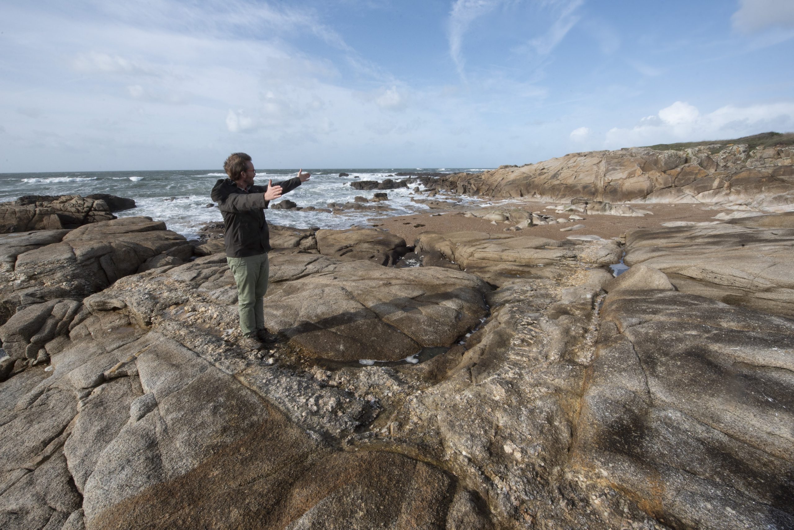
The Ploemeur site (Morbihan) is located on an aquifer in fractured crystalline bedrock; since 1991 it has supplied one million m3 of drinking water annually to a town of 20,000 inhabitants. The chemical quality of the water extracted is very good: in particular it has a low content of nitrates in a region that has been strongly affected by widespread pollution. Although the local rocks consist of granites and mica schists, rocks traditionally considered to be impermeable, very rapid flows are observed, confined to a small number of fracture zones. The main problems concern the aquifer’s vulnerability to transfers of anthropogenic pollutants; the potential risk of salinization in this coastal aquifer; and the identification of recharge areas, together with the establishment of a zone of protection. The site has a very dense piezometric coverage, with some fifty boreholes from 30 to 150 m deep. This network allows for long-term monitoring – hydrological, hydrochemical, and geophysical – and the possibility of innovative experiments on the hydrologic parameters of heterogeneous environments.
The Ploemeur site is built on 3 different sub-sites in highly heterogeneous crystalline context:
Ploemeur/Kermadoye, a high-yielding anthropized hydrosystem pumped since 1991 for municipal supply at a sustainable rate (1 Mm3/yr). Pumping is the single outlet draining a region of ~5 km² (recharge ~270 mm/yr). Flow is mainly focused in a highly fractured contact zone between granite and micaschist. This contact is getting sub-horizontal at depth, draining a large rock volume beyond the topographic catchment. This site focuses on long-term monitoring starting at pump onset up to now. Around 20 deep boreholes are distributed at various distances from the pumping wells, we count 5 secured sheds or galleries (+ electricity and internet connection). Monitoring is carried out at second to daily time steps (GW head, pumping rate and chemistry, soil water content, deformation, seismic data) and monthly to twice yearly data (GW age and chemistry, temperature profiles). The site response time is ~1.5 year, while residence time ranges from month to ~15 years. Current observation highlights a high sensitivity to climate variability (head and chemistry), and a thermal regime which has not reached a steady state yet.
Stang Er Brune, the main experimental site with 4 deep boreholes ~5m away from each other plus 3 shallow boreholes. A limited number of connected fractures, intercepted by wells, have been investigated by various experiments (flow path imaging, conservative and reactive tracer tests, thermal tracer tests, push-pull tests, geophysical and mechanical imaging). The team is highly experienced in handling week-long complex experiments with heavy duty tools (packer, FO-DTS, winch, tiltmeters…). 3 to 4 transmissive and connected fractures (10-3 to 10-6 m²/s) are generally targeted.
Guidel, equivalent to Ploemeur/Kermadoye site in natural conditions. Deep groundwater is naturally upflowing, feeding a groundwater-dependent ecosystem with large amounts of warm and iron-rich water. Furthermore, a large-scale destabilization of the hydrological system is also planned on late 2019: a new municipal pumping station will be started, which will first capture deep water, boost reactivity and completely modify water flow between the different hydrological compartments. This can be considered as a large-scale and long-term experiment, considering that large transient signals are expected at time scales ranging from the day/month for flow to year/decade for water quality and heat transfer.
In collaboration with the municipal “Water and Sewage” utility for the Town of Ploemeur, all 3 sites are monitored by a team from OSUR and UMR Géosciences to answer scientific questions stated below.
Scientific Goals
The Ploemeur site represents a somewhat atypical crystalline aquifer which is highly permeable and has good recharge in spite of the crystalline nature of the bedrock. The site’s permeability is provided by a system of fractures and seams through which the flows are very strongly channeled. Continuous pumping at the site to supply drinking water produces very high flow velocities in these preferred circulation zones.
The principal scientific objectives of current experiments and monitoring studies are the following:
- To test new methods for characterizing the environment (in boreholes or on surface) that can be used for imaging bedrock in highly heterogeneous environments.
- To develop techniques for monitoring the ground deformations related to variations in water-table levels
- To acquire the data required for testing and validating hydrogeologic modeling methods designed for fractured environments.
- To develop methods for imaging underground flows and measuring flow velocities in highly heterogeneous environments
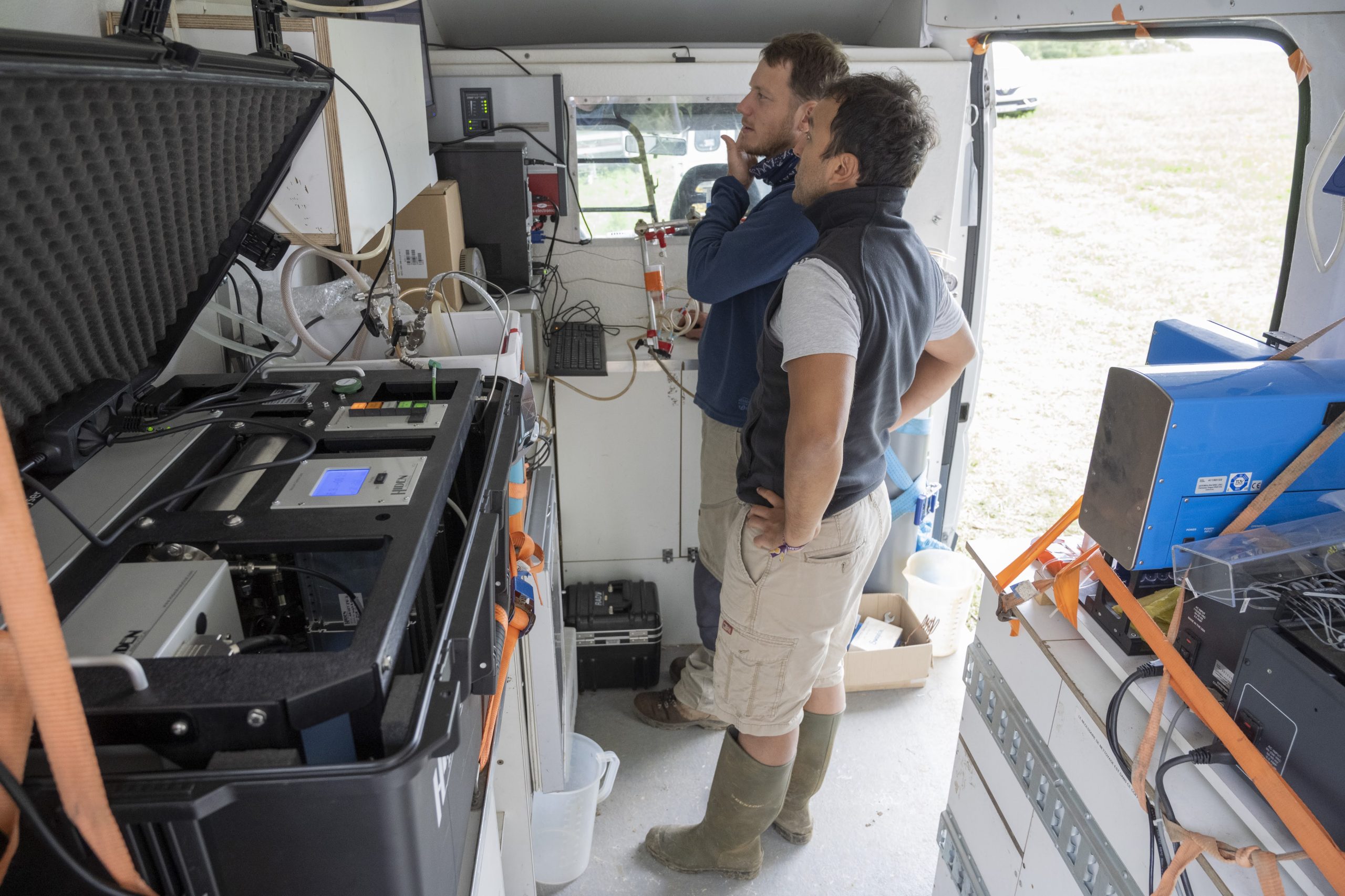
- To study the environment’s chemical reactivity and especially changes in the chemical quality of the waters as extraction proceeds
- To measure the distribution of residence times and estimate the distribution of travel times.
- To investigate the vulnerability of the aquifer to climatic variations and changes in land use
Monitoring and principal experiments conducted on the site
In this regard, a number of monitoring and experimental programs – including long-term time series and experiments – have been conducted on the Ploemeur site to provide relevant data designed to characterize, quantify, and model the transfers of water and chemical elements within this complex, heterogeneous aquifer. The main monitoring campaigns involve:
- Hydrologic and climatic monitoring of the site: the level of the water tables has been monitored since 2003 on more than thirty piezometers, at a frequency of 10 minutes for distant stations and 30 minutes for the nearest ones. This network is supplemented by a meteorological station and by measurements of the hourly flows in small streams that cross the pumping site.
- Hydrochemical monitoring of the site: all the piezometers are sampled twice a year, at low water and after recharge. All major elements are analyzed, as well as certain trace elements and rare earths. Isotopic analyses are also available for nitrogen, sulfur, strontium, and radon. Residence times in the aquifer are also monitored by measuring CFCs and SF6s.
- Monitoring of ground deformation: this monitoring has been provided since 2003 by two single-frequency GPS units. The system was upgraded in 2006, when two long-base tiltmeters (respectively 34 meters and 9 meters long) were installed in an old underground tunnel (ANR Hydro-Géodésie). Since that date a dual-frequency GPS has also been installed (ORE RENAG), as well as a seismometer (RESONMANS Project).
- Monitoring connected to exploitation: since 1991 the water and sewage utility has provided almost daily monitoring of certain piezometers, as well as monitoring of pump discharges. Water-quality monitoring (certain major elements, bacteriology, insecticides, etc.) is also regularly carried out.
Joint programs and participating researchers
The Ploemeur site offers an infrastructure capable of accommodating a number of national and international projects on a wide variety of themes. A total of more than fifty researchers, engineers, and technicians have worked on the site in recent years, or on data from the site. To these must be added a score of masters or doctorate-level students. Outside of H+ ORE, the Ploemeur site has been involved in several European projects (SALTRANS, ALIANCE), national projects (ANR Hydrogéodésie, ANR Mohini), research groups, and regional PRIR DATEAU projects. The principal joint programs involved the Universities of Montpellier 2, Maine (USA). Birmingham (UK), Nantes, and Paris VI, and the technical divisions of INSU (Brest), IUEM, UBO, IPG Paris, lPG Strasbourg, IRSN, USGS (USA), SHOM, and BRGM.
Application of the acquired data
The geological and geophysical (surface and borehole) and hydrogeological characterization of the site provide basic data of use to all the teams working on the site. These data include measurements on core samples, surface geophysical measurements, well logs, and local flow measurements at various scales. Certain sub-sites which have been characterized in detail, e.g., by borehole geophysics, have been used as references for tests or hydrogeophysical imaging. A cored borehole has already been used to carry out numerous physical-property measurements on its rocks, and for studying the chemical composition and reactivity of the rocks. It is planned to obtain an additional set of data from the new cored borehole, SC39, in the near future. These data should soon be supplemented by surface geophysical work conducted by a team from Paris VI. The incorporation of these data into the database should be completed during the coming year.
Piezometric levels are available from 1991 onwards for the data acquired by the municipality, and since 2003 for the computerized data. All of these data up to the end of 2006 are available in the database. The goal is to supplement the database with years 2006 and 2007 by the spring of 2009. These data are used to constrain and characterize the environment’s hydromechanical response, as a function of the hydrologic signal (thesis by G. Biessy, Géosciences Rennes, tiltmeter monitoring by F. Boudin, Montpellier). It is also planned to use these data to characterize the recharge and to study the vulnerability of the site to climatic change and anthropic pressures. Pumping tests at various spatial and time scales are also available. The very detailed hydrologic monitoring (frequencies of 30 seconds and 10 minutes, depending on the sensors) associated with exploitation of the site also provides a fairly exhaustive database of pump tests on a number of pumping wells.
A large volume of data on the chemical composition of the waters (since 1991) as well as on residence times is also available for the Ploemeur site. Besides characterizing the sources, these data should assist in constraining residence times in highly heterogeneous environments. To gain a better understanding of the processes at work at different time (and even spatial) scales, measurements have been carried out on the site and also in the laboratory. All these data are available in the database. One of the main attractions of these data is that they make it possible to study the coupling between the site’s hydrochemistry and its hydrogeological circulation patterns, in particular for investigating the reactivity and vulnerability of the site.
The GPS data acquired since 2003 and tiltmeter data since 2006 are currently being incorporated into the database. Some of these data were also added to ORE RENAG. They are mainly being used in the ANR-Hydrogeodesy project, where they represent a particularly valuable set of data.
Short- and medium-term programs
Transport parameters: among the critical pieces of data still remaining to be acquired at the Ploemeur site are tracing tests at various scales. These data are useful in themselves for constraining the range of travel times, but also for defining appropriate transport models and testing the adequacy of conceptual models. The data will be valuable supplements to measurements of flow velocities (PIVEF probe: in situ measurements of flow velocities) and to measurements of residence times (water dating).
Reactivity of the environment one of the features of the Ploemeur site is the reactivity of the environment, which is expressed by the changes in the chemical composition of the waters since the site was first put into production. In order to understand these processes, it is planned to develop ways of measuring the reactivity in situ by using new sensors, and to conduct reactive tracing tests between boreholes, in particular to study the kinetics of denitrification.
Water dating and residence times: abundant data are already available for the Ploemeur site. However, new analytical advances based on in situ measurements of noble gases should soon enable an improvement in the measurement of more recent dates, i.e., dating waters less than 20 years old.
Geophysical monitoring: the geophysical resources have been supplemented by a new tiltmeter acquired in 2009 to improve the monitoring of deformations throughout the site. Moreover, as part of the Mohini Project we also expect to have an electrical monitoring station installed by the Montpellier team. Besides monitoring water quality, this station should eventually enable the measurement of sub-surface flows. It is proposed to supplement this electrical-monitoring system with a surface network, to enable 3-D imaging of flows within the medium.
Flow measurements and hydraulic tomography: efforts to characterize and model flows at various scales will also be pursued. On the one hand, the Ploemeur site will serve as a reference for measurements of 3-D flow velocities in boreholes, particularly by using the new PIVEF probe, which has just been successfully tested on the Beaulieu site. On the other, the data acquired on the site will be utilized to test and develop tomographic inversion methods to enable 3-D imaging of the environment’s properties and preferential flow structures.
Hydrogeophysical inversion: new methods of inversion coupled with hydrogeological measurements (pressure, tracing, etc.) and geophysical measurements (seismic, radar, electrical, etc.) have been developed in recent years and successfully tested, mainly for imaging near-surface sedimentary aquifers. Application of these methods in fractured environments poses conceptual problems related to the very strongly channeled nature of the flows. The Ploemeur site will be used to test and develop hydrogeophysical characterization methods for imaging fractured media. The site is particularly well suited to this purpose because it includes sub-sites that are very well characterized in terms of their geology, geophysics, and hydrogeology. New hydrogeophysical experiments will be conducted there to supplement existing data.
Coupling of measurements and modeling: in parallel with the acquisition of these data, modeling studies should be undertaken as part of the various activities being conducted. This should lead to better definition of certain missing data, both to constrain the processes, and to model the site itself.
Data availability
Main datasets
In this OSURIS catalog you can find links to key datasets of the site together with metadata:
Ploemeur
Water cycle: https://www.osuris.fr/metadata/SNO-HPLUS-PLOEMEUR-WATER-CYCLE
Geochemical cycle: https://www.osuris.fr/metadata/SNO-HPLUS-PLOEMEUR-GEOCHEMICAL-CYCLE
Geodesy: https://www.osuris.fr/metadata/SNO-HPLUS-PLOEMEUR-GEODESY
Borehole hydrogeophysics: https://www.osuris.fr/metadata/SNO-HPLUS-PLOEMEUR-BOREHOLE-HYDROGEOPHYSICS
Soil-atmosphere interface: https://www.osuris.fr/metadata/SNO-HPLUS-PLOEMEUR-SOIL-ATMOSPHERE-INTERFACE
Guidel
Water cycle: https://www.osuris.fr/metadata/SNO-HPLUS-GUIDEL-WATER-CYCLE
Geochemical cycle: https://www.osuris.fr/metadata/SNO-HPLUS-GUIDEL-GEOCHEMICAL-CYCLE
Borehole hydrogeophysics: https://www.osuris.fr/metadata/SNO-HPLUS-GUIDEL-BOREHOLE-HYDROGEOPHYSICS
Soil-atmosphere interface: https://www.osuris.fr/metadata/SNO-HPLUS-GUIDEL-SOIL-ATMOSPHERE-INTERFACE
All datasets
To help finding general datasets, predefined database requests have been created and are regularly executed. Results of the requests can be downloaded from the links available here using the H+ database account:
Ploemeur
Water cycle
- Piezometry : 2003, 2004, 2005, 2006, 2007, 2008, 2009, 2010, 2011, 2012, 2013, 2014, 2015, 2016, 2017, 2018, 2019, 2020
- Flowmeter tests, Pumping rates associated to flowmeter tests
- All slug tests
Geochemical cycle
Borehole hydrogeophysics
- Multiparameter logs : conductivity, dissolved oxygen, pH, redox potential, temperature
- Spectral and natural gamma radioactivity
- Self potential, Short normal resistivity, Long normal resistivity, Single point resistance
- Induction resistivity
- Optical and acoustic logs
Spatialized hydrogeophysics
- Waterlevel: 01-04-2008 and 18-05-2006, legend, 30-11-2006, legend
- Gravimetry map, legend
- Magnetic map, legend
- VLF map, legend
- Structural scheme (old), legend
- Structural scheme (new), legend
- Geological map (1969), legend
- Seismic cross sections
Geodesy
- Tiltmeter (raw) : 2006, 2007, 2008, 2009, 2010, 2011, 2012, 2013, 2014
- Tiltmeter (processed) : 2006, 2007, 2008, 2009, 2010, 2011, 2012, 2013, 2014
Experiments
- Tracer tests: Uranine, Amino G Acid, Pumping rates
- Infiltration test: Seismic and ERT cross sections, Water content
- FO-DTS during pumping test at Stang er Brun – 20/09/2016
- All experiments
Soil atmosphere exchange
- Vadose zone: soil temperature, suction, water content
Boreholes
Stations
Guidel
Water cycle
Geochemical cycle
Borehole hydrogeophysics
Spatialized hydrogeophysics
Soil atmosphere exchange
Boreholes
KMZ viewer
The viewer below offers a comprehensive site visualization and information on available public data such as types, numbers and dates of measurements, locations of sites, wells and stations, as well as data providers information. This interface also provides an overview of available geophysical maps and cross-sections and is accessible without a database account.
To visualize all data in the Google Earth software, you can download the following KMZ files using the H+ database account: Ploemeur.kmz & Guidel.kmz